
₹1040
₹1250
(17% Off)
Inclusive of all taxes
Qty
Buying in bulk?

In Stock

Guaranteed Service

Free Home Delivery
above ₹199
Check Delivery
Enter pincode for exact delivery dates / charges and to know if express delivery is available
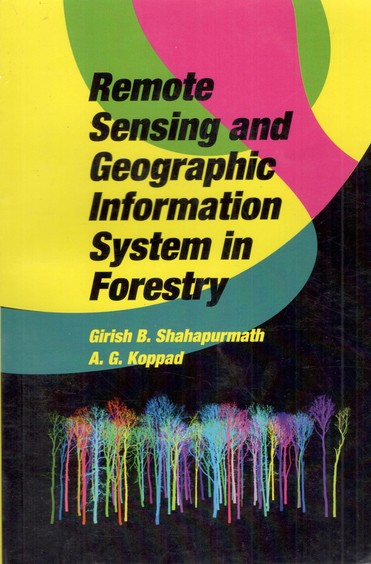
Remote Sensing and Geographic Information Sysem in Forestry
by Girish B Shahapurmath, A G Koppad (Author),
Satish Serial Publishing House (Publisher)
Product Specifications
Book Description
About the Book: Remote Sensing and Geographic Information Sysem in Forestry
Romote sensing and GIS are complementary technologies that, when combined,
enable improved monitoring, mapping, and management of forest resources. The
information that supports forest management is stored primarily in the form of
forest inventory databases within a GIS environment. A key development in remote
sensing has been the increased availability of high-spatial and
high-spectral-resolution remotely sensed data from a wide range of sensors and
platforms including photographic and digital cameras, video capture, and
airborne and space borne multispectral sensors. Hyper spectral imagery promises
to provide improved discrimination of forest cover and physiological attributes.
Radar application are being
Book Specifications
ISBN-13 9789388020695
Language English
Binding Paper Back
Publisher Satish Serial Publishing House
Publishing Date 2020